


























Planning a Griffith Park visit with the official map
The city’s Griffith Park map distinguishes roads, footpaths, multi-use routes and visitor facilities. It also marks picnic areas, restrooms, parking and other useful landmarks, making it a practical starting point for an outing in Los Angeles.

The city’s Griffith Park map distinguishes roads, footpaths, multi-use routes and visitor facilities. It also marks picnic areas, restrooms, parking and other useful landmarks, making it a practical starting point for an outing in Los Angeles.
Pick an entry point and a destination that fit your group, rather than treating the whole park as a single short walk. Use the map to understand the route, then check current park notices for closures and operating changes. A printed map does not establish that every route or attraction is open today.
Sponsored
Save the source link and review any notices for your chosen date. If a particular facility, accessible route or reserved space is essential to your visit, confirm it with the responsible organization. A little preparation helps turn a promising idea into an outing that works for your group.
Sources and further information
Prepared with AI assistance. Source information checked October 17, 2026; schedules and availability may change.
Read next
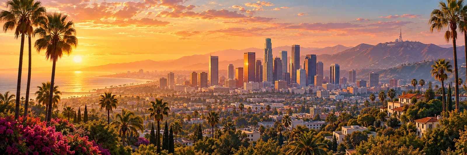
Los Angeles by the numbers: a baseline for local coverage
Los Angeles, California: 3,869,089 residents in the Census Bureau’s July 2025 estimate.
Read the story ↗Sponsored

Discuss this news
Your draft stays here while you sign in. Be respectful and keep it local.
No comments yet.